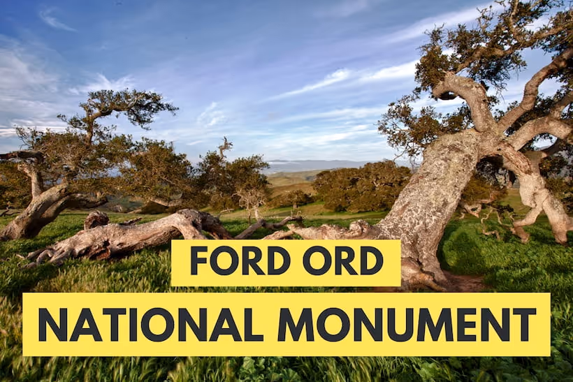
An escape to Fort Ord Monument feels like an escape to an enchanted forest. Fort Ord National Monument used to be an Army base, but now the land is a wildlife haven and has various hiking trails.
Fort Ord History

The military used this land as an artillery target range in 1917. In 1940, it became a fort, and the U.S. Army used this area for training. Fort Ord was an attractive posting for Army personnel with its proximity to the beach and fabulous California weather. The Fort ceased operating as an Army site in 1994. President Barack Obama proclaimed this area as Fort Ord National Monument in 2012.
Fort Ord became the nation's first nature reserve to protect an insect when the endangered Smith's blue butterfly was found here. The site also protects the endangered wildflower, the Contra Costa goldfield. The threatened California tiger salamander is also located at Fort Ord.
Trails
Fort Ord boasts over 83 miles of trails. Multi-use trails serve hikers, bikers, and equestrians. A few trails have fenced edges due to the possibility of unexploded ordinances in the area.
Jerry Smith Corridor

To experience the Jerry Smith Corridor, enter from Inter-Garrison Road. This trail takes walkers through a coastal live oak grove. The live oaks are draped in lichen and provide a wonderful respite. In the spring, you'll find a field of wildflowers across Watkins Gate Road. Check out views of Salinas Valley from intersecting Trail 20. Take Trail 68 for fabulous views of Moss Landing and Monterey Bay.
Badger Hills Trailhead
The Badger Hills area is a good place for bird and wildlife watching. Early mornings are an excellent time to spot black-tailed deer. In addition, quail, hummingbirds, Cooper's hawks, and warblers are often seen and heard.
Parker Flats
Hikers will find an old military watchtower at the intersection of Parker Flats and Eucalyptus. The army used this area for basic military training in the 1970s. The lookout tower was used to test weaponry ranges.
The Parker Flats area is another good area for wildlife viewing. Hikers often see coyotes, birds, bobcats, and king and gopher snakes.
Creekside Terrace Trailhead
Several trails are departing from the Creekside Terrace Trailhead. Hikers should grab a map and can create their loop. Trails at Creekside Terrace take hikers through elevation changes, rolling hills, live oak forests, and cliff faces.
Juan Bautista de Anza National Historic Trail

The Juan Bautista de Anza National Historic Trail (Anza NHT) commemorates Juan Bautista de Anza's route from 1775-1776. De Anza led 240 men, women, and children from Nogales, Arizona, to the San Francisco area to establish the first European settlement in San Francisco Bay. This 1,200-mile route has been re-traced, and part of it transverses Fort Ord.
To access the historic trail inside Fort Ord, head to the Creekside Access point. You'll find 11 miles of Anza NHT inside Fort Ord. This portion of the 1,200-mile trail leads hikers through oak woodland, open grasslands, and maritime chaparral.
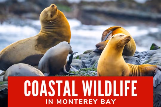
Visit Monterey for Stunning Scenery
Monterey is home to a fascinating array of history. Learn more about the human and natural history of the area by visiting the best museums in Monterey.